 Coast to river · all of Oregon
Know before you go.
Your all-in-one command center for fishing Oregon — coast to river. Check every bar before you launch, read live marine forecasts, buoys and tides, time the safest crossing window, chase temp breaks on NOAA sea-surface maps, and track salmon and steelhead runs in real time. Know exactly what's open and legal to keep, log your catches by GPS, stay safe with marine-radio & SOS tools, and swap reports with the community — all in one app.
Every lake, river & creek — on one map.
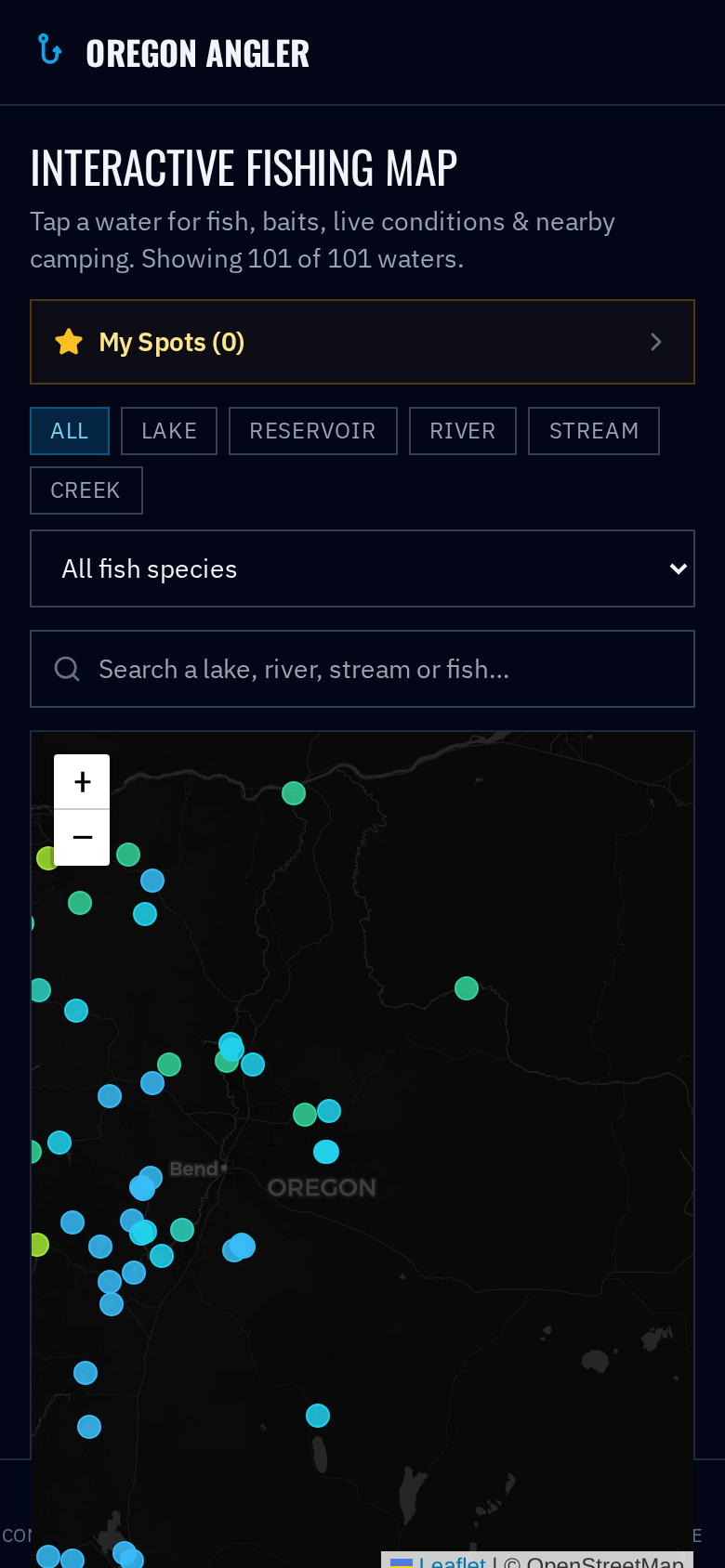
101 hand-picked Oregon fishing waters from the coast to the high desert, mapped and ready to explore. Filter by the fish you're after or the type of water, tap any spot, and get everything you need to plan the trip.
- Species, baits & best times — for all 101 waters — know what's biting and what to throw.
- Live water temp & flow — pulled from USGS gauges in real time, right on the water's card.
- AI 'how to catch' tips — a tailored game plan generated for that exact spot and its fish.
- Camp & stay nearby — campgrounds, hotels & resorts near the water for overnight trips.
- Save your spots — star favorites and see their live conditions at a glance all season.
Everything an Oregon angler needs
Built for coastal and river fishermen. Safety first, then the data that puts fish in the boat.
Bar Crossing Reports
Live safe / caution / hazardous status for all 11 Oregon coastal bars, blending official USCG/NWS restrictions with real-time wind and wave data.
Interactive Fish Map
A zoomable map of 101 Oregon lakes, rivers, streams & creeks. Filter by species or water type, tap any spot for the baits & best times, live USGS temp & flow, AI catch tips and nearby camping — and star your favorites.
Marine Forecast & Buoys
Wind, gusts, wave height and swell period for the North, Central and South coast — plus live NDBC buoy readings and water temps.
Tides & Best Windows
3-day high/low tides for 16 river mouths, with the safest slack-high bar-crossing window and the best daylight low for clamming flagged automatically.
Ocean & SST Maps
Interactive sea-surface-temperature & chlorophyll maps plus NOAA OSPO SST contours — hunt the temp breaks and green water where tuna and salmon stack up.
Live Fish Counts
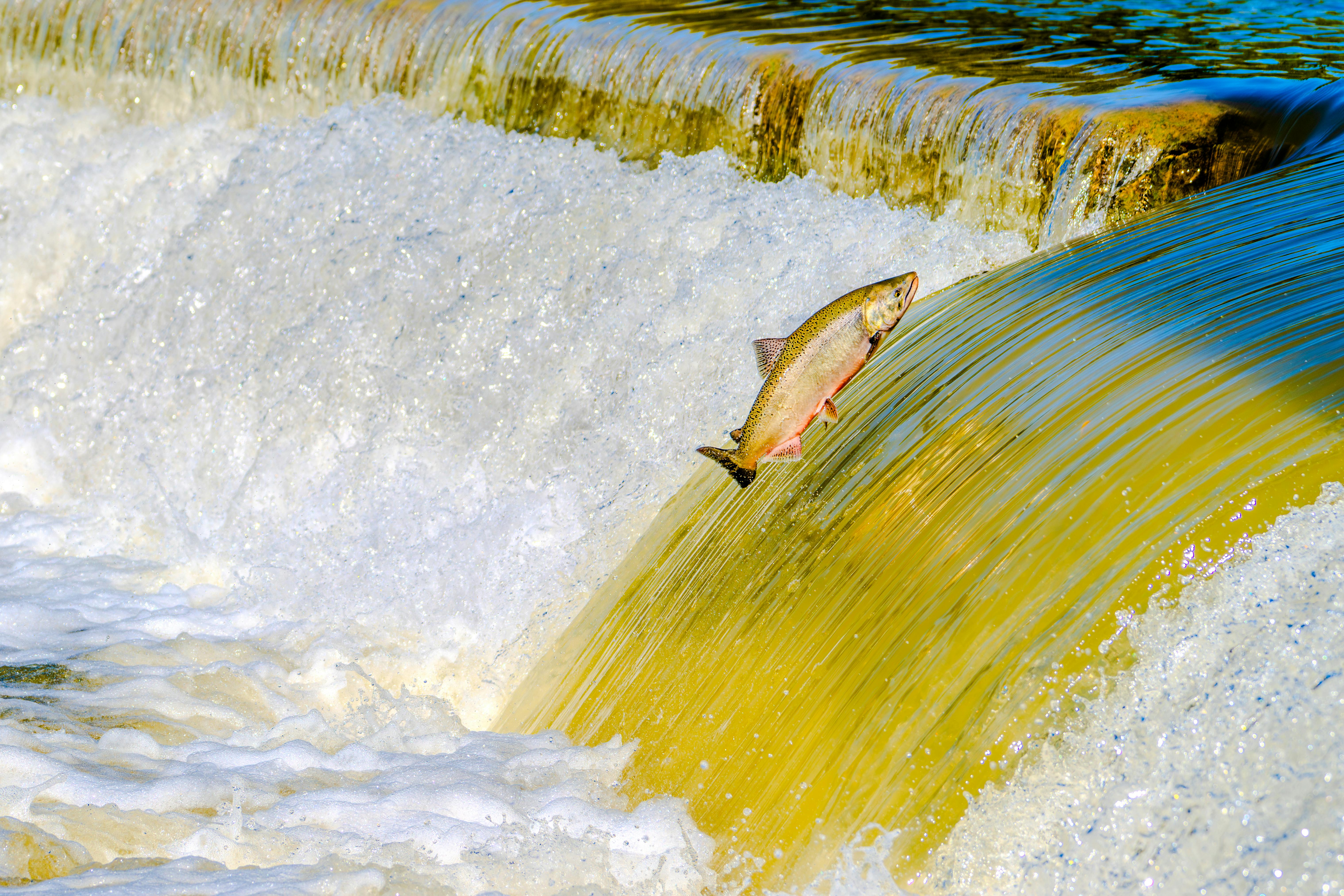
Year-to-date salmon, steelhead & sockeye passage at Columbia River dams from DART, plus the weekly ODFW Ocean Salmon Catch Index by port.
Open Seasons & Limits
What's open to catch right now, bag limits by river & zone, live ODFW regulation updates, seasonal hotspots and an ocean-vs-river bait guide.
GPS Fishing Log
Drop a pin the instant you hook up. Log species, bait, weight and length, keep your trip route with the screen awake, and share your spot only if you choose to.
Marine Radio, Maps & Safety
VHF channel guide, one-tap USCG & 911 calling, a live map with breadcrumb trail, an SOS button and share-your-location codes for family and friends.
Crabbing & Shellfish
Dungeness, bay clams, razor clams and mussels — top spots, seasons and current limits, with your own crab & clam logging.
Alerts & License Locker
Push & email alerts when a bar status changes or swell spikes, plus a private locker to keep photos of your fishing & shellfish licenses on hand.
Community Feed & Forum
See who's catching what, where and on what — trade reports, photos and tips with the Oregon fishing community.
Before you go, know who's behind this.
This app was built by a born-and-raised Oregon woman who grew up fishing these waters with her father and three brothers — not by some out-of-state tech company or a faceless startup. Every bar report, tide window and hotspot comes from someone who has actually stood on these banks, crossed these bars, and chased these runs. It's made by an Oregonian, for Oregon anglers.
One plan. All of it.
- Live bar reports, marine forecast, buoys & tides
- Interactive fish map of 101 lakes, rivers & creeks
- Tide windows for safe bar crossings & clamming
- Ocean SST / chlorophyll maps + salmon catch index
- Salmon, steelhead & sockeye river counts
- Open seasons, bag limits, hotspots & bait guide
- GPS fishing log, marine radio & SOS safety tools
- Crabbing & shellfish guide, alerts & license locker
- Full community feed & forum access